 |
The U.S. Navy unveiled plans for a major transformation in marine navigation over the next few years, in which traditional paper nautical charts will be replaced with advanced, interactive, electronic navigation systems throughout the fleet.
The Navigator of the Navy, Rear Admiral Steven Tomaszeski, said that the Navy
has launched an ambitious initiative to equip the entire fleet of surface ships
and submarines with ECDIS-N, The Electronic Chart Display and Information System
-- Navy, by the end of 2009. Once the ships complete their certification process
with the new equipment, they would no longer rely on traditional paper nautical
charts and manual plotting of a ship’s position.
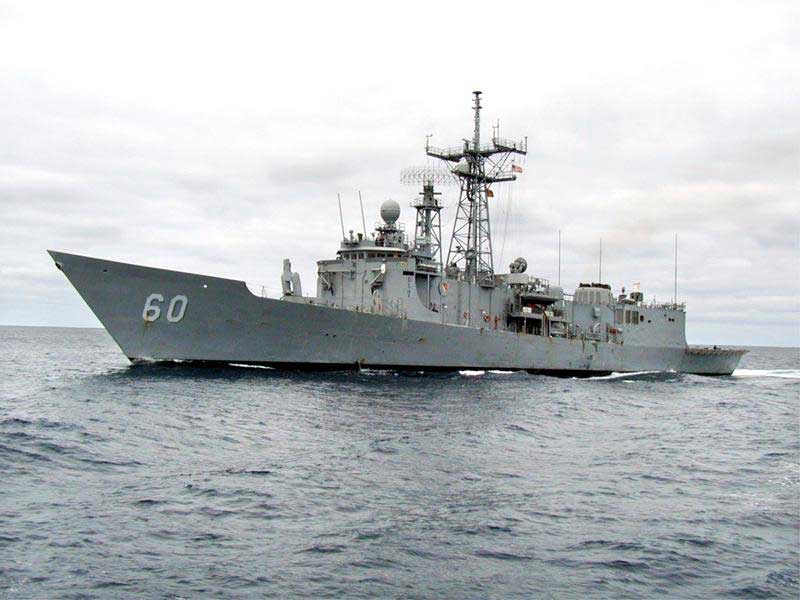
The Navy passed an important milestone in May, when the Aegis guided-missile
cruiser “USS Cape St. George” (CG 71) became the first ship to be authorized to
navigate with ECDIS-N, following an extensive certification process to ensure it
met the Navy’s requirements for safe navigation. Also in May, an ECDIS-N system
was approved for Los Angeles class submarines, and should be certified soon.
The Electronic Chart Display and Information System -- Navy (ECDIS-N) is based
on the Voyage Management System software programs developed by Northrop
Grumman’s Sperry Marine business unit, and operates with Digital Nautical
Charts(c), a global database of digital charts produced by the National
Geospatial-Intelligence Agency.
“This historic achievement was made possible by the cooperative efforts of the
Chief of Naval Operations staff, the Program Executive Offices for Ships and
Integrated Warfare Systems, the Naval Surface Warfare Center, the Operational
Test and Evaluation Force and the dedicated professionals of Sperry Marine,”
said Tomaszeski. “Of particular note is the contribution of the National
Geospatial-Intelligence Agency in creating Digital Nautical Charts. The digital
charts are the foundation of ECDIS-N, and without the Agency’s efforts to
convert more than 5,000 paper charts into a seamless database, we would not be
standing here today.”
The Deputy Navigator of the Navy, Capt. Zdenka Willis, added: “The ECDIS-N
technology represents an extraordinary leap forward for the U.S. Navy. For
centuries, the state of the art in marine navigation was defined by manual
plotting of a ship’s estimated position on a paper chart by projecting its
course and speed from the last known location. With ECDIS-N, mariners can see
their ship’s actual real-time precise position and movement superimposed on a
highly accurate electronic chart display. The result is improved safety at sea
and enhanced situational awareness for the ship’s bridge watchstanders.”